Frascati, Italy

|
Frascati, Italy |
|
This page is not yet complete and a number of presentations and pictures are not available
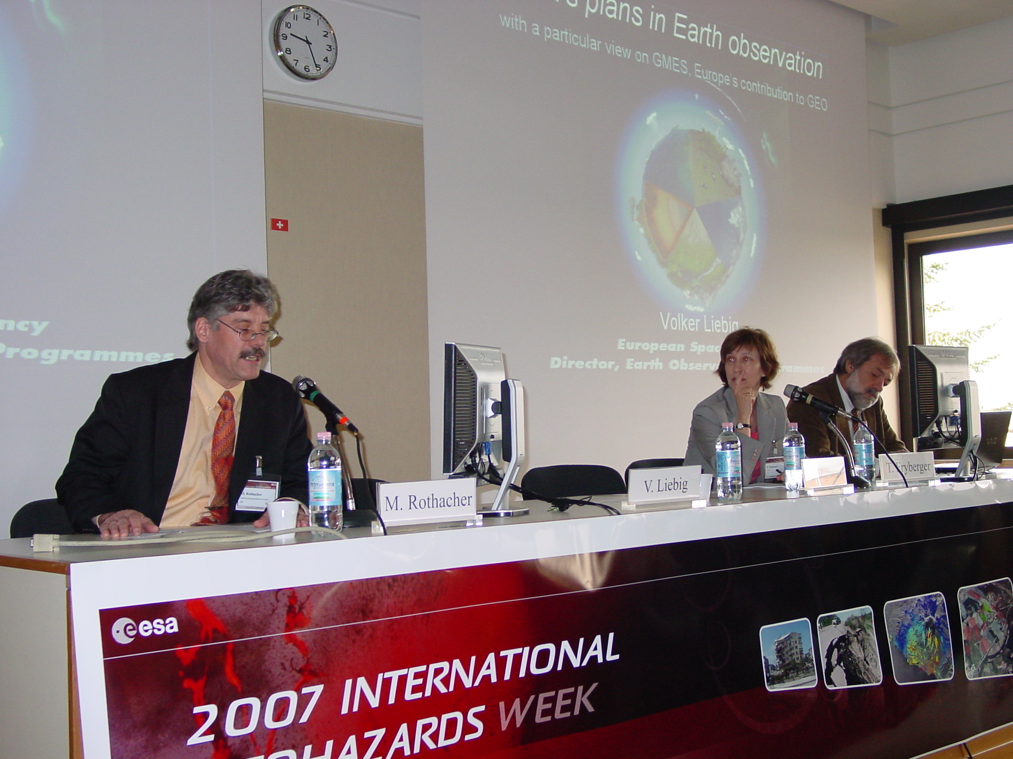
09:00 - 10:30 Opening Session, Chairs: Volker Liebig and Markus
Rothacher
| Presenter and Title | Main Message | Links | |
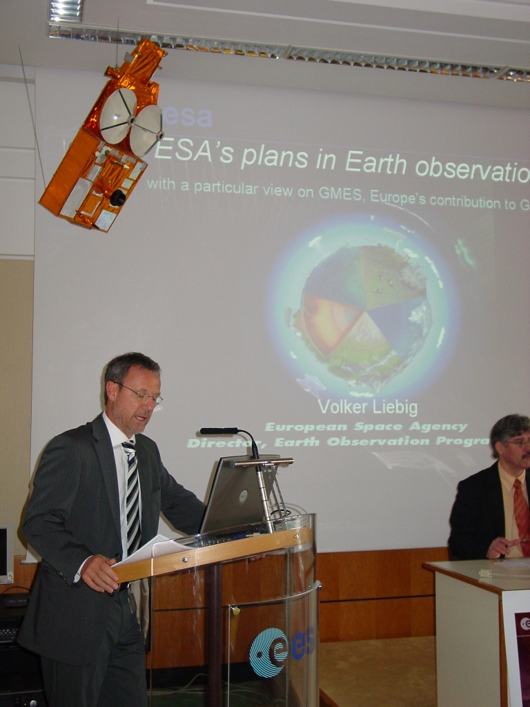 |
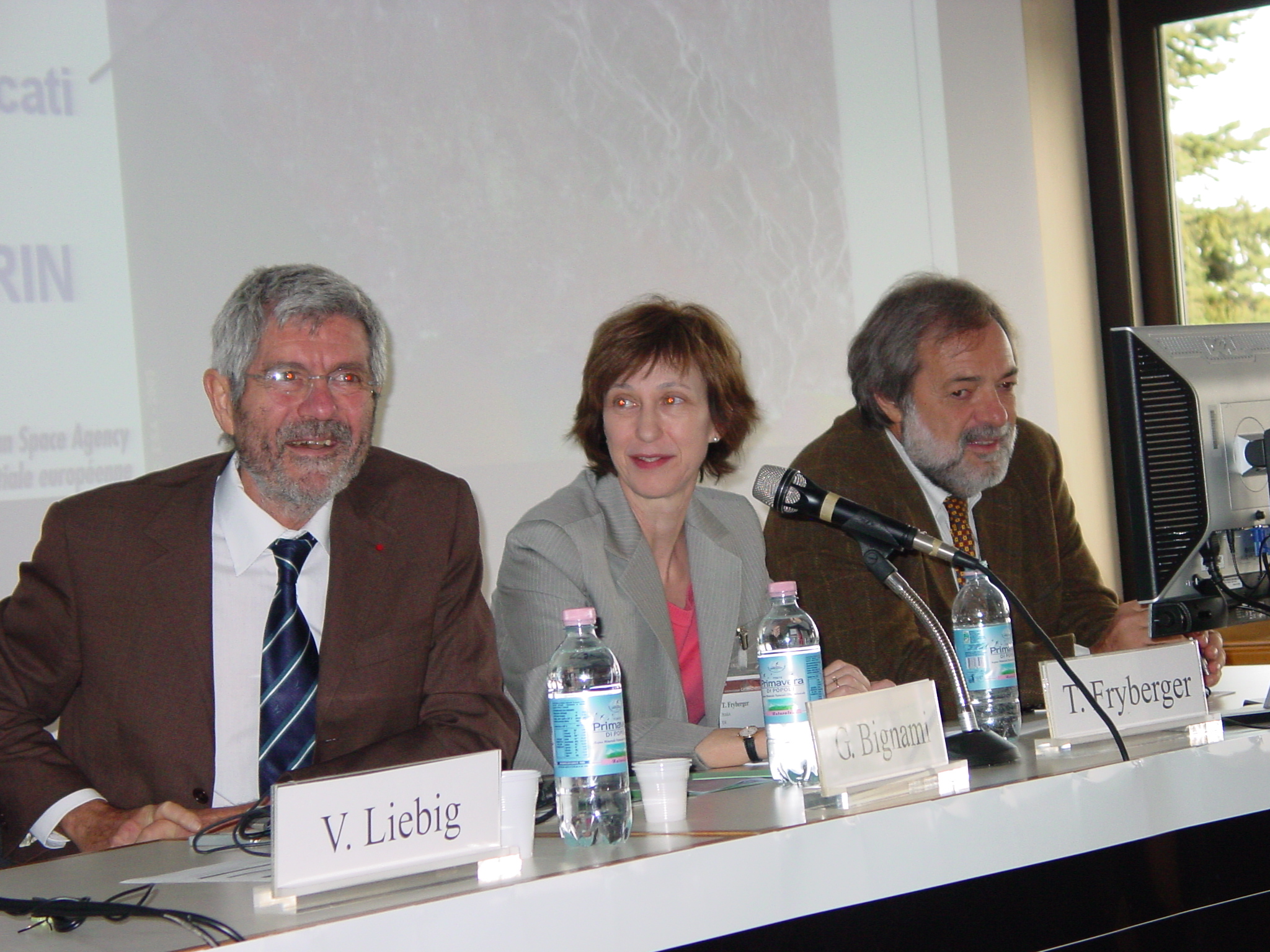
Volker Liebig: ESA's plans in Earth observation with a particular view on GMES, Europe's contribution to GEO | The accurate global geodetic reference frame provided by GGOS is fundamental for satellite missions and Earth observation and ESA will contribute also in future with its satellite missions and systems providing the signals and observations necessary for GGOS to provide this service. | presentation, Abstract |
 |
Giovanni Bignami: The contribution of the Italian Space Agency (ASI) to GGOS | Recognizing the importance of geodetic observations and products such as the global reference frame, ASI has supported GGOS with satellite missions such as LAGEOS-II and ground stations, and ASI will continue to support GGOS. | presentation, Abstract |
 |
Teresa Fryberger: The Role of GGOS in Earth Observation and Space Exploration | The global geodetic reference frames and geodetic observations of changes in the Earth's surface, gravity field, and rotation are crucial for NASA's Earth science goals, and NASA will continue to support GGOS with in situ and space-borne sensors and other infrastructure necessary to continue the geodetic service for science. | presentation, abstract |
 |
Jose Achache and Giovanni Rum: The Contribution of GGOS to GEOSS: The view from GEO | GGOS with the IAG Services is an example of successful international cooperation and coordination on the basis of best efforts, but the importance of the infrastructure of GGOS necessary to maintain the global geodetic reference frame as a core element contributing to GEOSS warrants a focus on obtaining operational funding for this infrastructure. | presentation, Abstracts |
11:00 - 15:30 Session 1: Observing changes in Earth's shape, rotation and gravity field with an integrated observing system, Chairs: Ruth Neilan and Michael Pearlman
| Presenter and Title | Main Message | Links | |
 |
Rothacher, M., Neilan, R., Plag, H.-P.: The Global Geodetic Observing System Observing | GGOS is a large organization with many contributors and supporters and an extensive Earth observation system utilizing infrastructure maintained to a large extent outside of GGOS by space agencies and national governmental agencies. | presentation, abstract |
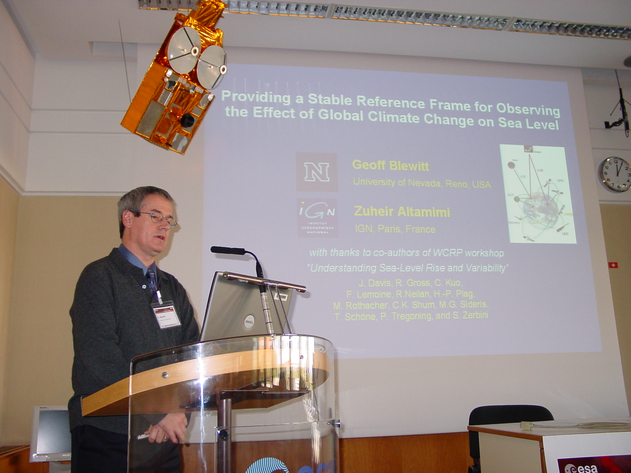 |
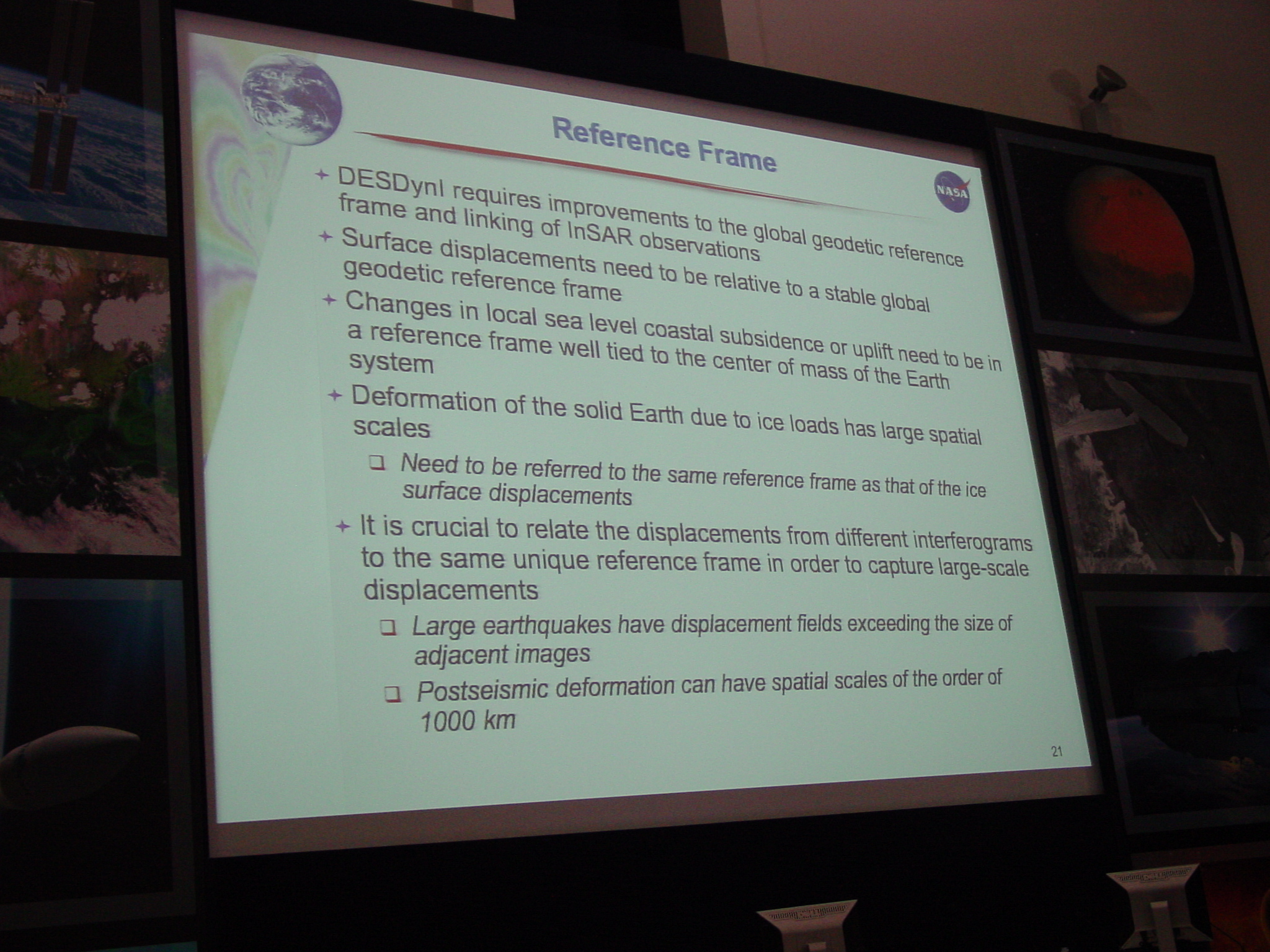
Blewitt, G. and Altamimi, Z.: Providing a Stable Reference frame for Observing the Effect of Global Climate Change on Sea Level | The (high) accuracy of the reference frame is a key limitation in quantifying global change processes such as sea level changes. | presentation, abstract |
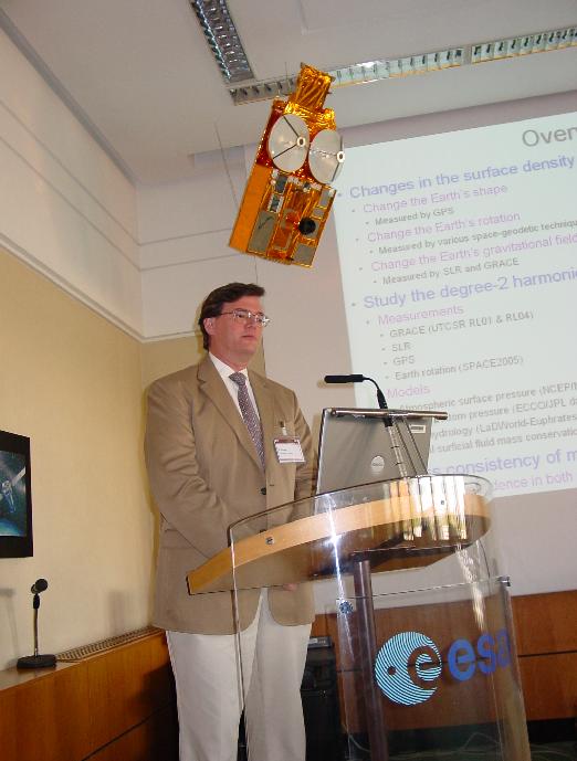 |
Gross, R., Lavalle, D., Blewitt, G., Clarke, P.: Consistency of Earth Rotation, Gravity, and Shape Measurements | Achieving consistency across the three pillars of geodesy and between observations and models is a key challenge for GGOS. | presentation, abstract |
 |
Boehm, J., Wresnik, J, Schuh, H., Behrend, D.: Towards a new VLBI system for geodesy and astrometry | Example VLBI2010: Technological progress driven by user requirements will lead to improved products. | presentation, abstract |
 |
Pearlman, M, Noll, C, McGarry, J., Gurtner, W., Pavlis, E.: The International Laser Ranging Service and its support for GGOS and Earth Sciences | Example SLR: A key contributor to GGOS/ITRF but also a service in support of satellite mission. | presentation, abstract |
 |
Pavlis, E.: Designing a Global Geodetic Network to Support GGOS | Network simulations: Can network improvements alone ensure that GGOS reaches its accuracy goals? | presentation, abstract |
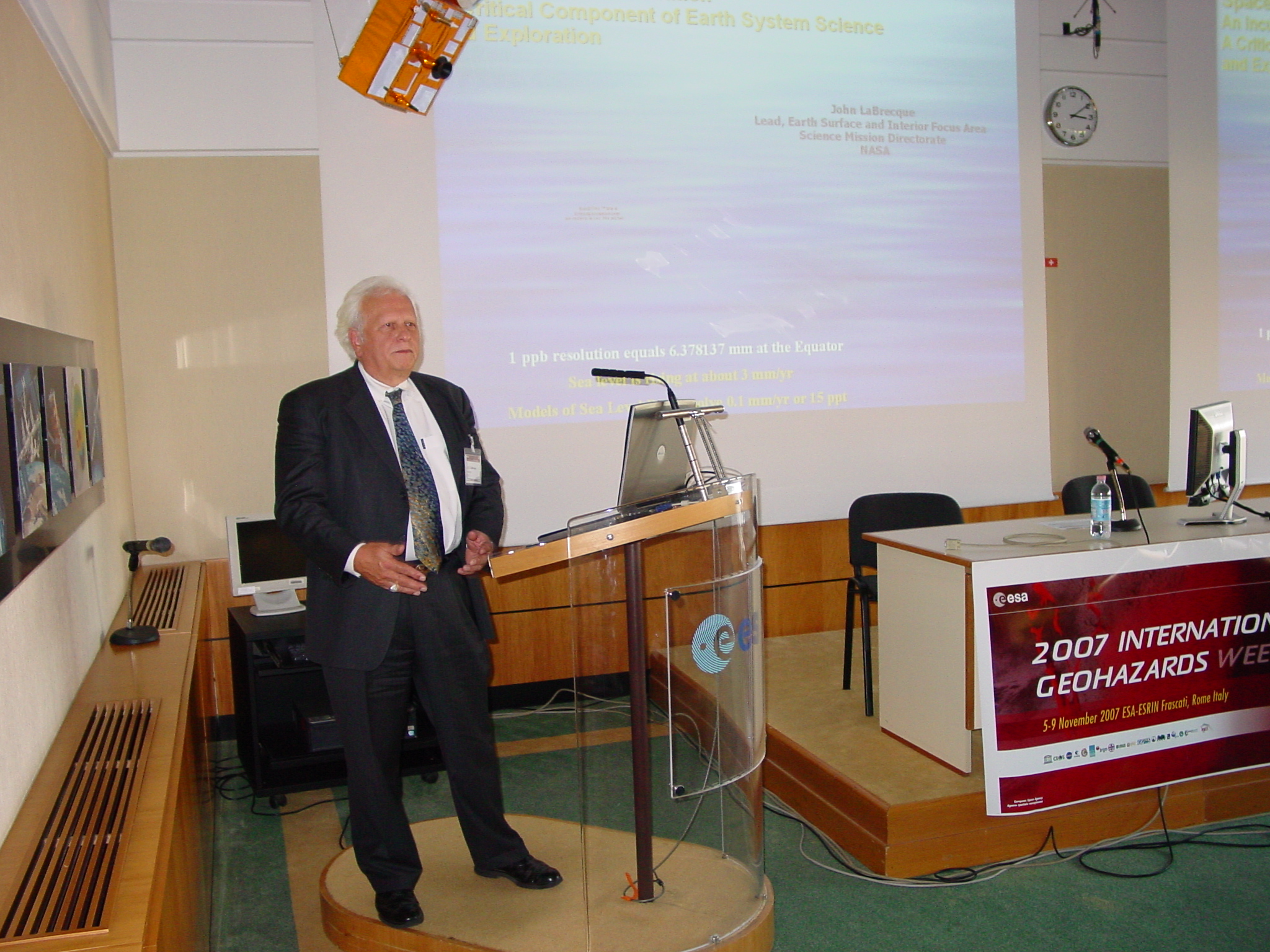 |
LaBrecque, J.: The Next Generation Geodetic Network | The US National Research Council's Decadal Study has recognized the contributions and importance of the space geodetic science, technology, and infrastructure in expanding our knowledge of the Earth System. The Decadal Study recommended that NASA and NOAA launch a multitude of space geodetic missions within the next decade. The mission range from GPSRO satellites, ice and ocean altimeters, geodetic imagers, and a GRACE follow-on. Space geodetic science also is guiding our exploration of the solar system and the universe beyond. In this regard the global geodetic networks could be viewed as a geodetic telescope navigating the universe, measuring its movements, and understanding its fundamental principles. | Presentation, Abstract |
16:00 - 18:00: Session 2: Understanding the Earth system: The contribution of GGOS, Chairs: Richard Gross and Susanna Zerbini
| Presenter and Title | Main Message | Links | |
 |
Wu, X., Dong, D., Gross, R., Heflin, M., Moore, A., Oyafuso, F., Owen, S.: The seasonal cycle in global mass transport: Combining geodetic observations to get the picture | Mass redistribution at seasonal time scales is well constrained by the three pillars of geodesy, but understanding the driving processes requires a combination of different parameters. | presentation, abstract |
 |
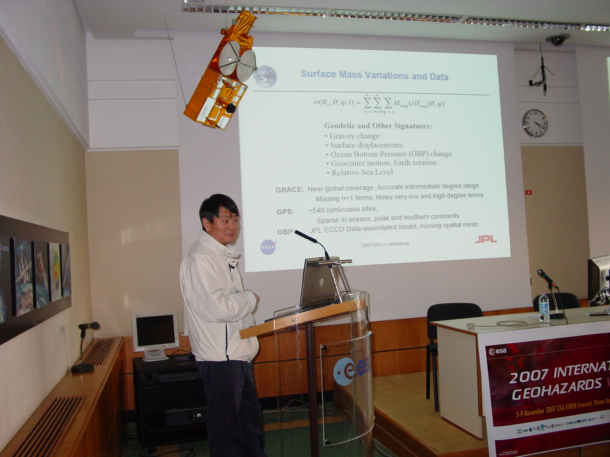
Schmidt, R., Flechtner, F., Kusche, J.: Detection of the Earth's time-variable gravity field using GRACE | GRACE facilitated huge progress in monitoring time-variable gravity and understanding the underlying mass redistribution (water cycle), but different processes cannot be separated without additional input (models or observations). | presentation, abstract |
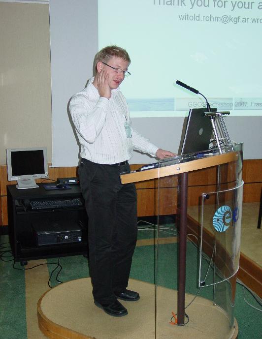 |
Rohm, W., Bosy, J.: The GPS tropospheric tomography as an GGOS contribution to water vapour distribution studies | Geodetic observations provide a sensing of the atmosphere at local and regional scale: Example tropospheric water content. | presentation, abstract |
 |
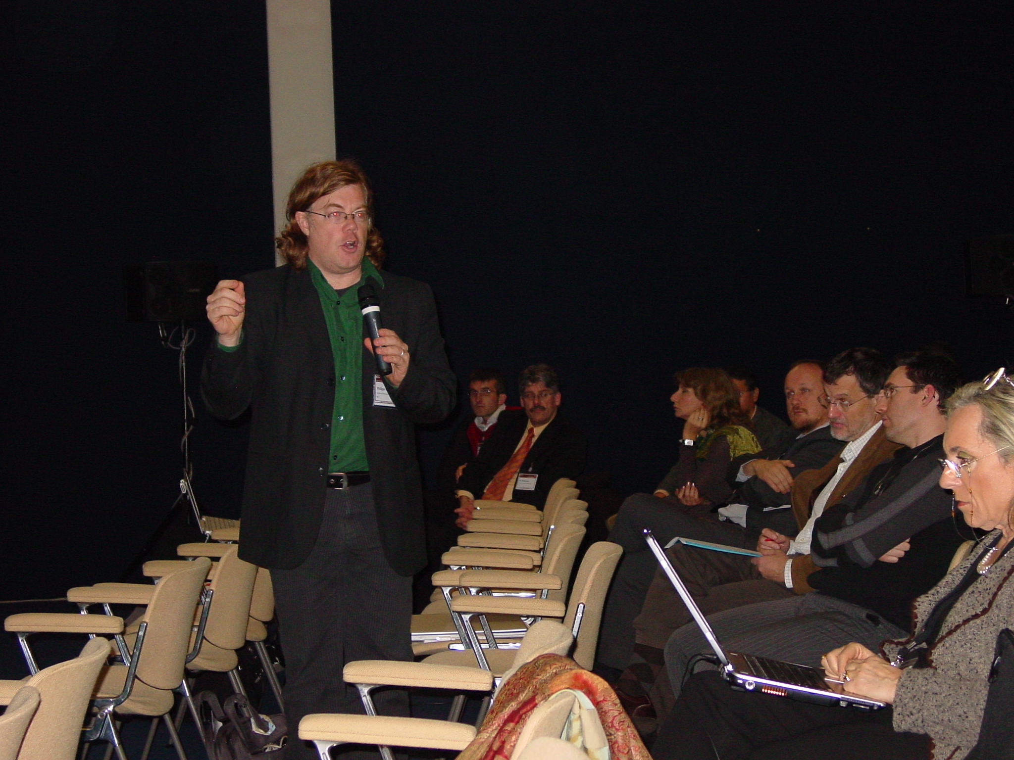
Plag, H.-P.: Towards a Future Predictive Non-Linear Terrestrial Reference Frame for Improved Early Detection of Geohazards and Disaster Mitigation | Global change and geohazards phenomena are inherently linked with the reference frame: a combination of physical models and geodetic observations may be required in order to facilitate a better understanding of these phenomena. | presentation, abstract, see also Plag et al., 2007: Towards a Consistent Conventional Treatment of Surface-Load Induced Deformations, or directly pdf |
08:30 - 13:00: Session 3: GGOS and Geohazards, Chairs: Hans-Peter
Plag and Stuart Marsh
| Presenter and Title | Main Message | Links | |
|
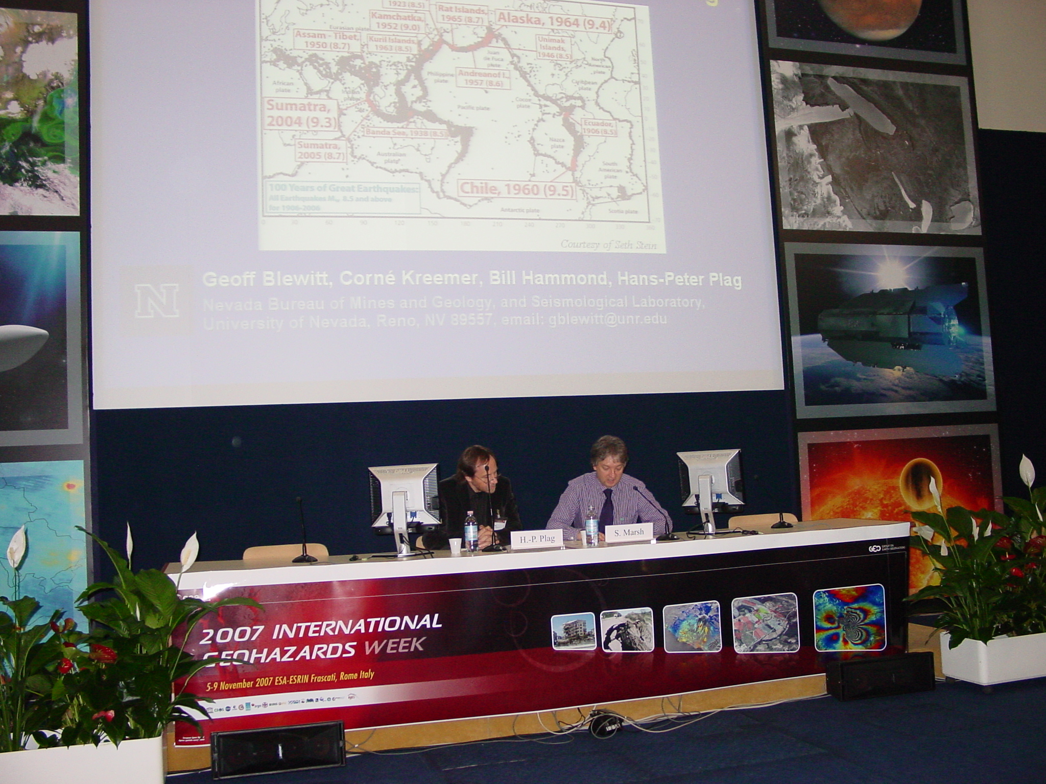
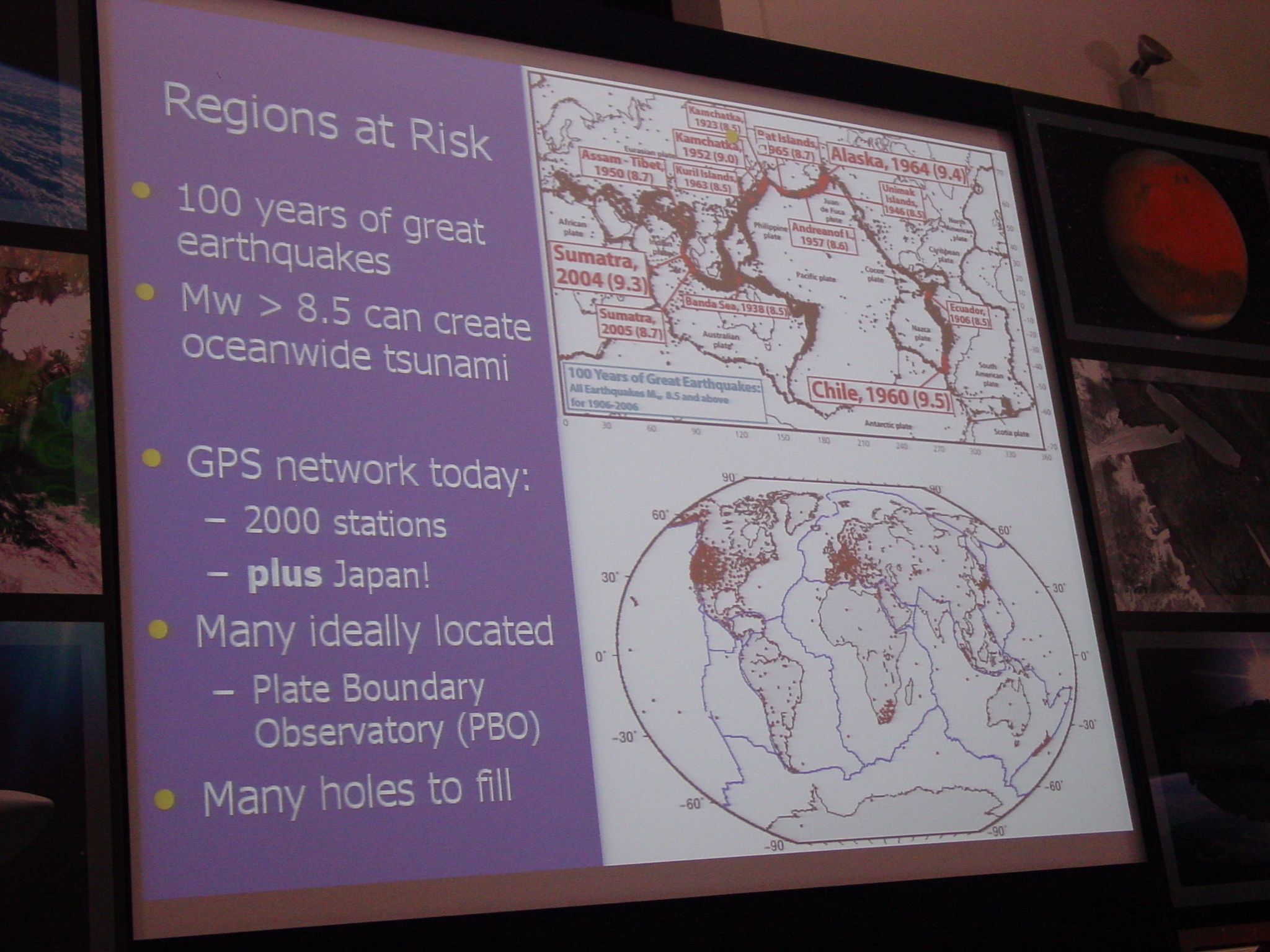
Blewitt, G., Kreemer, C., Hammond, W., Plag, H.-P.: Realizing the potential of GGOS for Geohazard Prediction and Early Warning | Prediction and Early warning systems work best if mutually informed and consistent, and GGOS has the bandwidth and should play both roles. | presentation, abstract |
  |
Donnellan, A.: Earthquakes, volcanoes, land slides: Geodetic contributions and challenges for geodesy | InSAR is extremely versatile for the early detection of hazardous areas and thus can enable informed decisions on where to invest in dedicated monitoring systems. | presentation, abstract |
 |
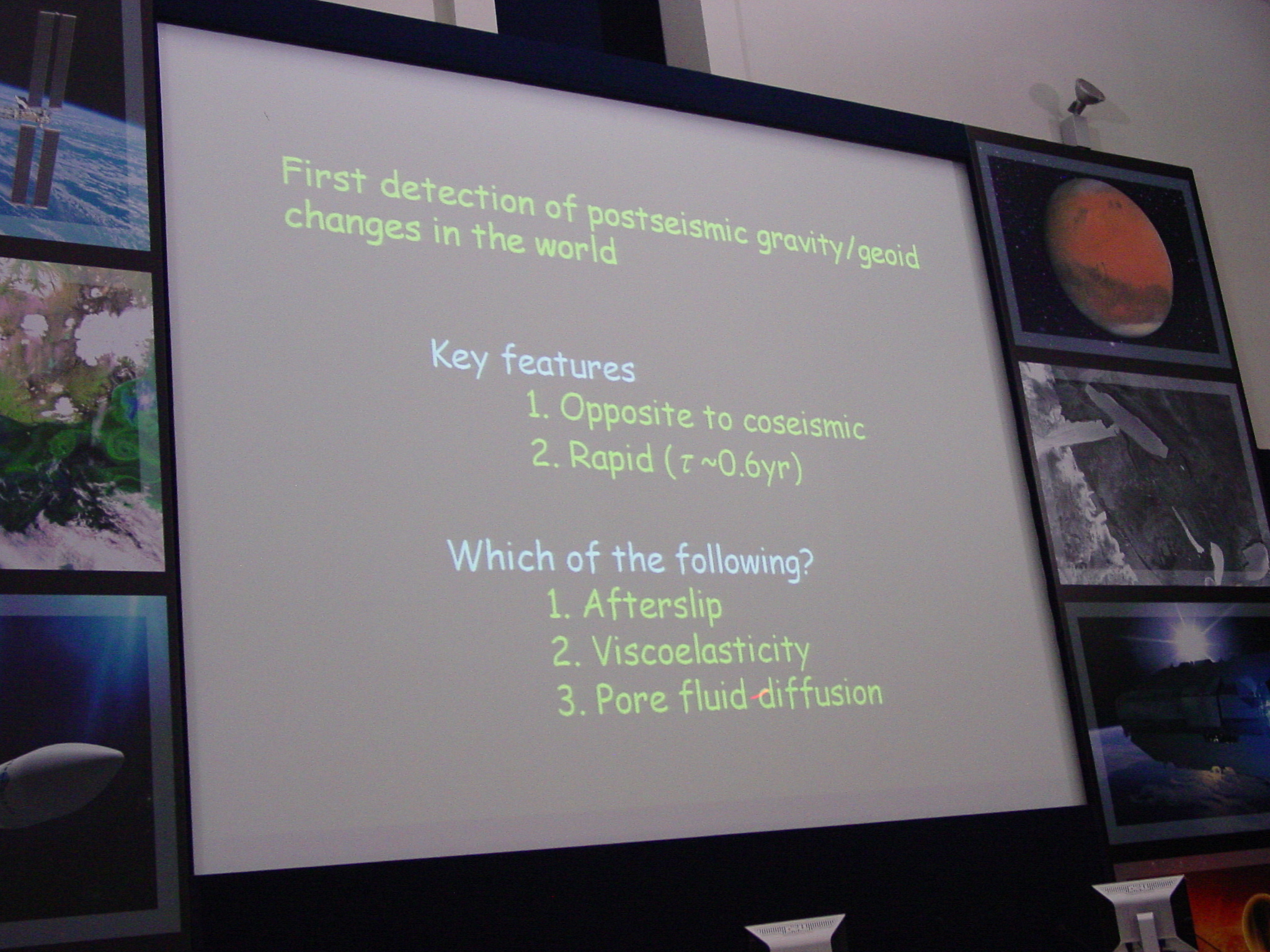
Kosuke Heki: Geodetic contributions to studies of the physics of earthquake | GPS reveals (1) nearly periodic slow seismic events accounting for significant energy release, (2) upward traveling seismic waves in the atmosphere, and GRACE senses gravity signals associated with large seismic event. | presentation, abstract |
 |
Schoene, T, Rothacher, M.: GGOS Contributions for Early Warning Systems | Geodesy/GGOS contributes to tsunami early warning system in several ways. | presentation, abstract |
 |
Diament, M., Panet, I., Mikhailov, V., deViron, O.: What does satellite gravity bring to the understanding and monitoring of large earthquakes? | Gravity from space can help to mitigate the lack of geodetic infrastructure on the ocean floor. | presentation, abstract |
 |
Lognonne, P., Occhipinti, G., Kherani, A., Garcia, R., Crespon, F., Jeansou, E., Mimoun, D.: Ionospheric seismology: a new perspective in Earth Observation | Earth surface is no longer frontier of seismology: Remote sensing of seismic waves and tsunamis from space appears possible and could be a component in early warning systems. | presentation, abstract |
 |
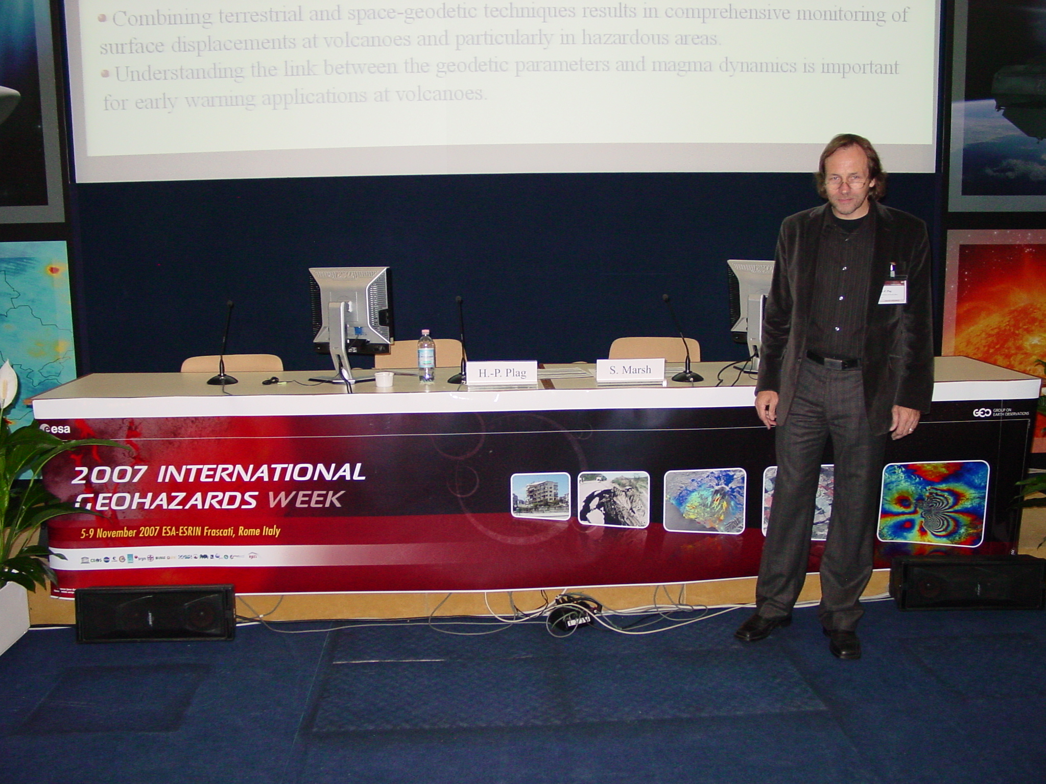
Bonaccorso, A., Aloisi, M., Bonforte, A., Gambino, S., Guglielmino, F., Mattia, M., Palano, M., Puglisi, G.: Volcanic hazard reduction at Sicilian volcanoes (South Italy) by integrating satellite and terrestrial geodetic monitoring systems | Combining terrestrial and space-geodetic techniques results in comprehensive monitoring of surface displacements at volcanoes and particularly in hazardous areas. | presentation, abstract |
 |
Papale, P., Longo, A., O'Brien, G., Vassalli, M., Saccorotti, G., Bean, C., Barbato, D., Barsanti, M.: Early warning system at active volcanoes: establishing a link between geodetic observations and deep magma dynamics | Understanding the link between the geodetic parameters and magma dynamics is important for early warning applications at volcanoes. | presentation, abstract |
  |
Plag, H.-P.: Workshop Summary | presentation |